Researchers develop post-wildfire landslide susceptibility model

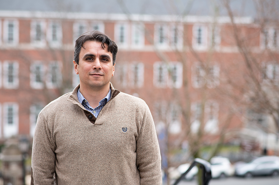
In June 2016, the San Gabriel Complex Fire raged through southern California. As it burned, the fire caused damage that negatively affected the surrounding area long after the flames died down. In 2019, three years after the fires had been extinguished, the effects of the disaster contributed to a series of landslides following a rainstorm. Professor and Berger Chair Farshid Vahedifard of the Department of Civil and Environmental Engineering is developing a model that can predict the timing and general location of these rainfall-triggered shallow landslides in the wake of wildfires to help communities mitigate further damage.
Funded by two grants from the National Science Foundation and the United States Department of Agriculture’s National Institute of Food and Agriculture, Vahedifard led a multidisciplinary, multi-institutional group with the goal to reduce the vulnerability of disadvantaged communities to the impacts of wildfires and wildfire-related cascading geohazards – such as landslides – in a changing climate. There has been an unprecedented increase in the frequency and severity of wildfires in several regions, with 2020 marked as the most active wildfire year across the western US. While the direct impacts of wildfires are devastating as singular events, their legacy may last long after the flames have been extinguished.
Following wildfires, cascading hazards such as landslides and debris flows may occur, resulting in a catastrophic ripple effect. Wildfire-related cascading hazards extend beyond the burned and immediate surrounding areas, affecting local and regional populations. Vahedifard and his team are working to enhance current models to understand the complex factors that define the evolution of wildfire and cascading hazards and their impacts. As part of this effort, they recently developed and tested a physics-based model to predict the susceptibility of burned areas to rainfall-triggered landslides. The researchers outlined their work in two recent articles titled “Hydromechanical modeling of evolving post-wildfire regional-scale landslide susceptibility” in Engineering Geology and “Post‐wildfire stability of unsaturated hillslopes against rainfall‐triggered landslides” in Earth’s Future.
Vahedifard and his team recently discussed the interplay between geohazards and wildfire-induced changes to soil properties, land cover, and near-surface processes in their article “Interdependencies between Wildfire-Induced Alterations in Soil Properties, Near-Surface Processes, and Geohazards” in Earth and Space Science. As wildfire burns, it weakens the root systems and canopies of trees and other vegetation. Fires can also create or strengthen a hydrophobic layer on the surface of the soil, contributing to more runoff when it rains. In recent years, wildfires have shifted to higher elevations, and these factors all combine to increase potential for landslides. Urban development has also pushed into more mountainous areas, putting some communities at risk for significant damage due to landslides.
Most rainfall-triggered landslide prediction models currently available are empirical or region-specific and must be re-trained for each area in which they are used. Many models rely on historical data, which doesn’t account for shifting weather and climate patterns. This study by Vahedifard and colleagues is one of the first to develop a physics-based framework to generate susceptibility maps of rainfall-triggered shallow landslides in areas disturbed by wildfire. The GIS-based model factors in the wildfire’s temporal and spatial impacts on soil and land cover properties, near-surface processes, and canopy interception.
With the project currently in its third year, the researchers applied their work to the San Gabriel Complex Fire as a case study. They found that moderate to high burn areas were at increased risk for landslides compared to unburned or low burn areas. Overall, the model can potentially predict the timing and general locations of rainfall-triggered shallow landslides following wildfires, which could help communities to come up with better strategies to manage cascading hazards.
At Tufts, Vahedifard develops transformative solutions for emerging issues related to climate-resilient communities and infrastructure systems while incorporating environmental justice. Beyond landslides and wildfires, his research encompasses other extreme events including droughts and floods. In particular, he focuses on the needs of and challenges faced by historically underserved and socially vulnerable communities in relation to these hazards.
Learn more about Professor and Berger Chair Farshid Vahedifard.
Department:
Civil and Environmental Engineering